CYBERTEC offers comprehensive GIS solutions and spatial services to customers worldwide. GIS data has become more important in recent years and almost all data sets have some sort of spatial information associated with it.
Inspire your customers with beautiful maps and dashboards. Present huge data sets in a human-readable way, and analyze customer data from a geographic perspective. CYBERTEC offers all the tools and services to achieve your goals.
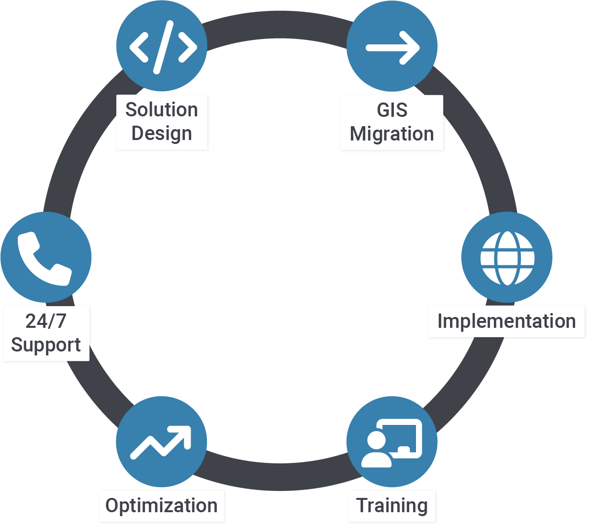
Our team provides services for various technologies including, but not limited to:
Contact us today to receive your personal offer from CYBERTEC. We offer timely delivery, professional handling, and over 20 years of PostgreSQL experience.
Ever wondered how to import OSM (OpenStreetMap) data into PostGIS for the purpose of visualization and further analytics? Here are the basic steps to do so. There are a bunch of tools on the market— osm2pgsql; imposm; ogr2org; just to mention a few.
Last time, I announced you should check out MobilityDB to improve your approach to extract overlapping passage times of healthy and infected individuals – here we go! MobilityDB itself is a PostgreSQL extension built on top of PostGIS, specializing on processing and analysing spatio-temporal data.
Recently, a colleague in our sales department asked me for a way to spatially partition an area of interest. He wanted to approximate customer potential and optimize our sales strategies’ respective trips. Furthermore he wanted the resulting regions to be created [...]
Visualizing spatial data is an important task. In this mini-tutorial, you will learn how to quickly visualize OpenStreetMap (OSM) data with PostGIS and QGIS. The idea is to get you started as fast as possible, and to make the most out of your data.
Analysing data within PostGIS is just one side of the coin. What about publishing our datasets as maps that various clients can consume and profit from? Let’s have a look at how this can be accomplished with Geoserver.